
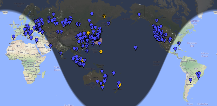
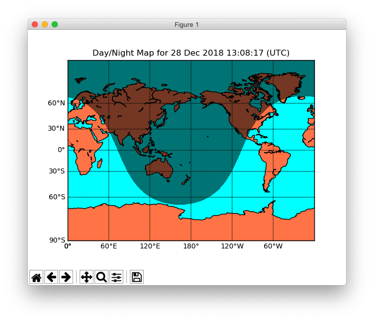
The maps provided by PSK Reporter are somewhat uncontrollable with their sizes and offsets, so I thought I might draw my own maps using Matplotlib Basemap Toolkit from an ADIF file downloadable from the site.
<FREQ:8>7.074812
<MODE:3>FT8
<OPERATOR:6>******
<MY_GRIDSQUARE:6>++++++
<QSO_DATE:8>20181227
<TIME_ON:6>140700
<APP_PSKREP_SNR:3:N>-14
<CALL:6>******
<COUNTRY:13>United States
<DXCC:3>291
<GRIDSQUARE:8>++++++++
<QSO_COMPLETE:3>NIL
<SWL:1>1
<eor>
What I need is a Python library to convert a Maidenhead grid square to a latitude and longitude pair.